
Today was very much about heights: ascending and descending.
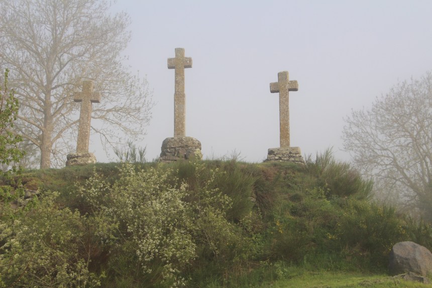
I started out from St. Privat d’Allier just after 08:30 this morning. First, there was a short backtracking to the town square, which is at about 850 metres above sea level. From there the track winds gradually upwards. It was a misty morning, but even in the mist, it was impossible to miss the hill just above St. Privat with three stone crosses, a reminder that there was not just one person crucified on Calvary.
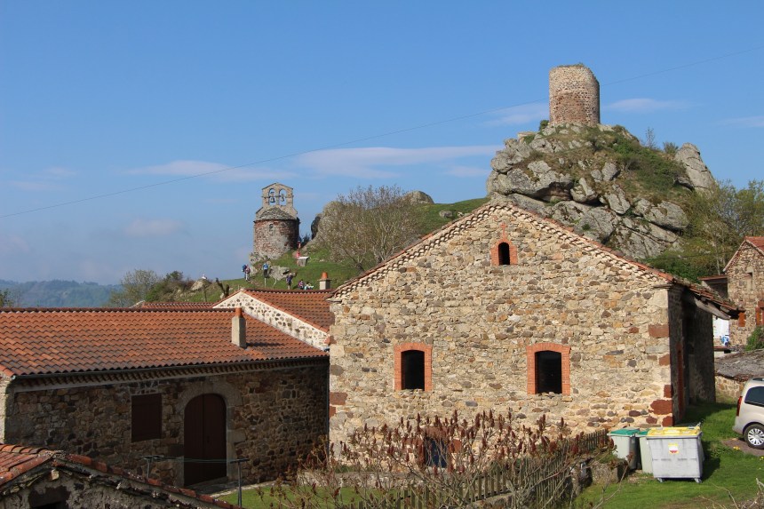
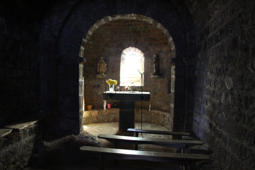
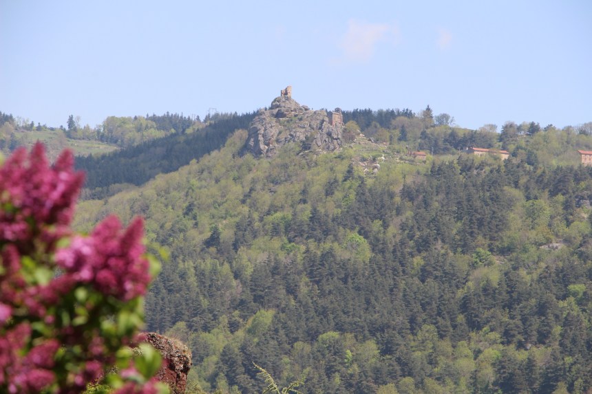
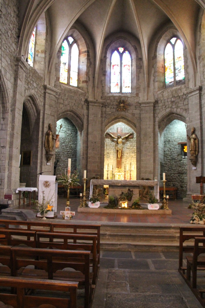
From there, the trail wound on upwards to Rochegaude. This little hamlet is at 967 metres, so I had ascended a little over 100 metres in height. Rochegaude is interesting because of the tower and the chapel. The chapel is dedicated to St. James. The tower and chapel are the only surviving remains of a larger castel structure that was here centuries ago. The chapel is very small, with rustic furnishings, cool and dark inside.
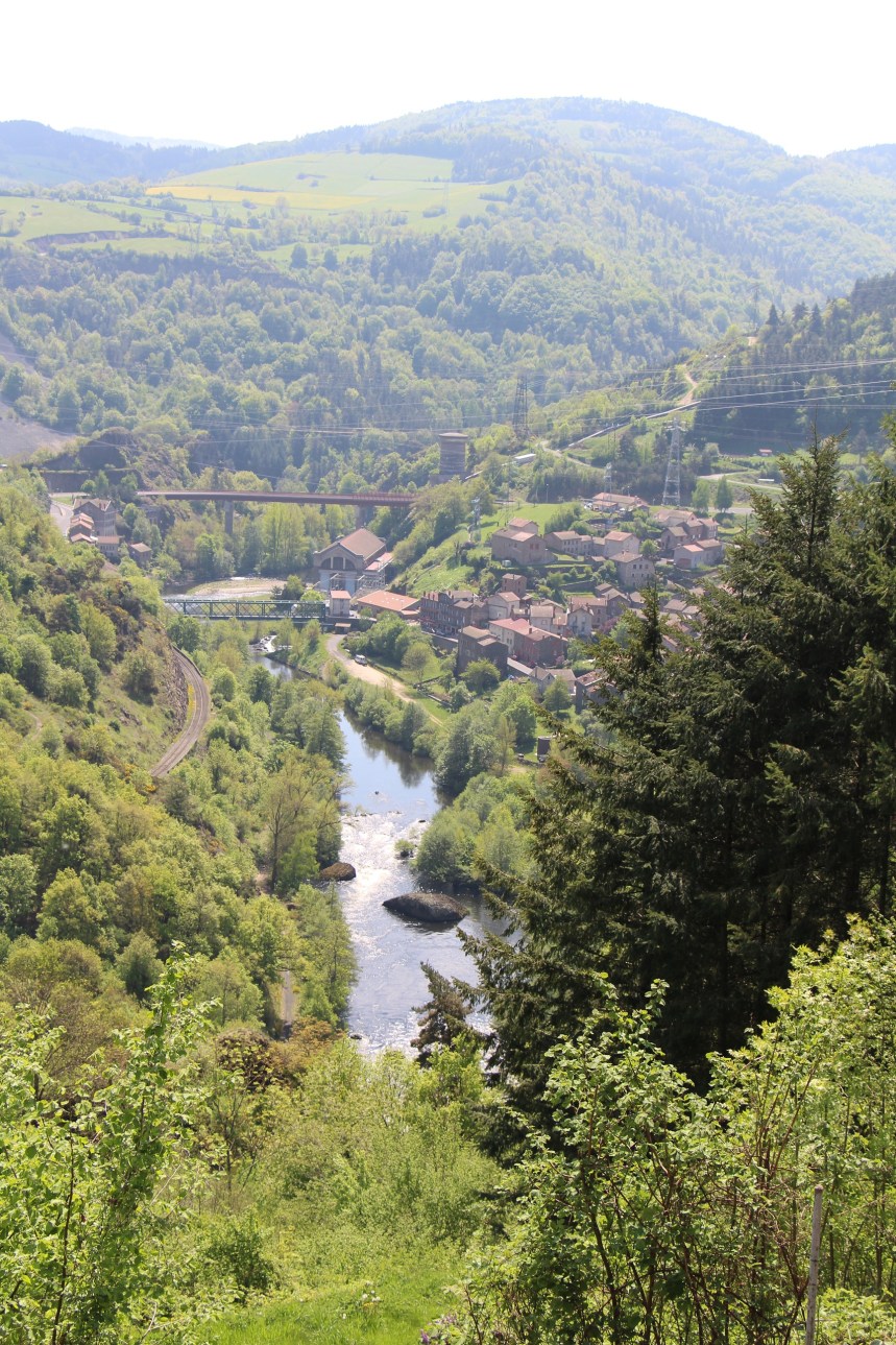
But then, having gained that height on the way from St. Privat, it was time to descend again, all the way sown into the Allier gorge and the village of Monistrol d’Allier. This little village not only provided a crossing point over the river in the gorge, but also an excuse to stop and have a beer.
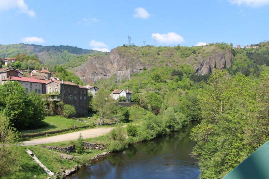
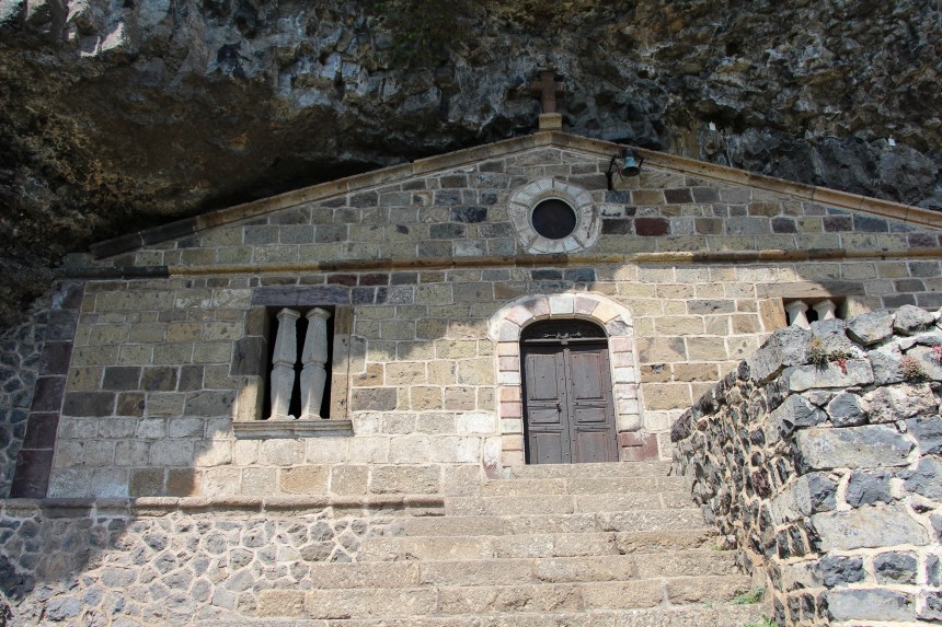
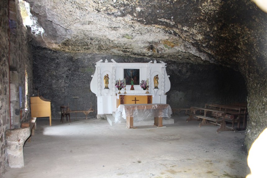
Monistrol d’Allier is officially listed as being 551 metres above sea level so I had descended over 400 metres. But once past the village, the path starts ascending again. This is basalt country, and I passed several rock formations with the typical vertical columns that characterize basalt. The route continued to ascend, and I came to the Chapelle de la Madeleine. This interesting church is set into a depression in the rock so that the front of the church almost becomes part of the cliff face. The church was closed, unfortunately, but the windows (which have no glass) allowed me to peer into a somewhat austere interior. From the church, there are excellent views back towards Monistrol d’Allier.
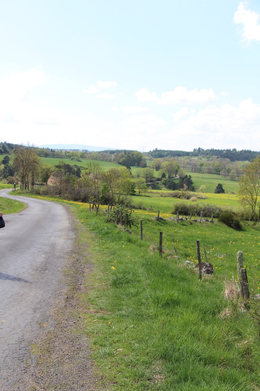
The route continued upwards, through the hamlet of Escluzels. From there it was possible to look back across the gorge and see Rochegaude which I had come from earlier.
After that, it was a long and strenuous ascent upwards. There were fields, of course, and then the route went into forest, where it seemed to zig-zag back and forth forever before reaching the plateau at about 1050 metres. So I had done an ascent of 500 metres in blazing sunshine. From there the route is relatively flat, though in the sunshine every step required effort.
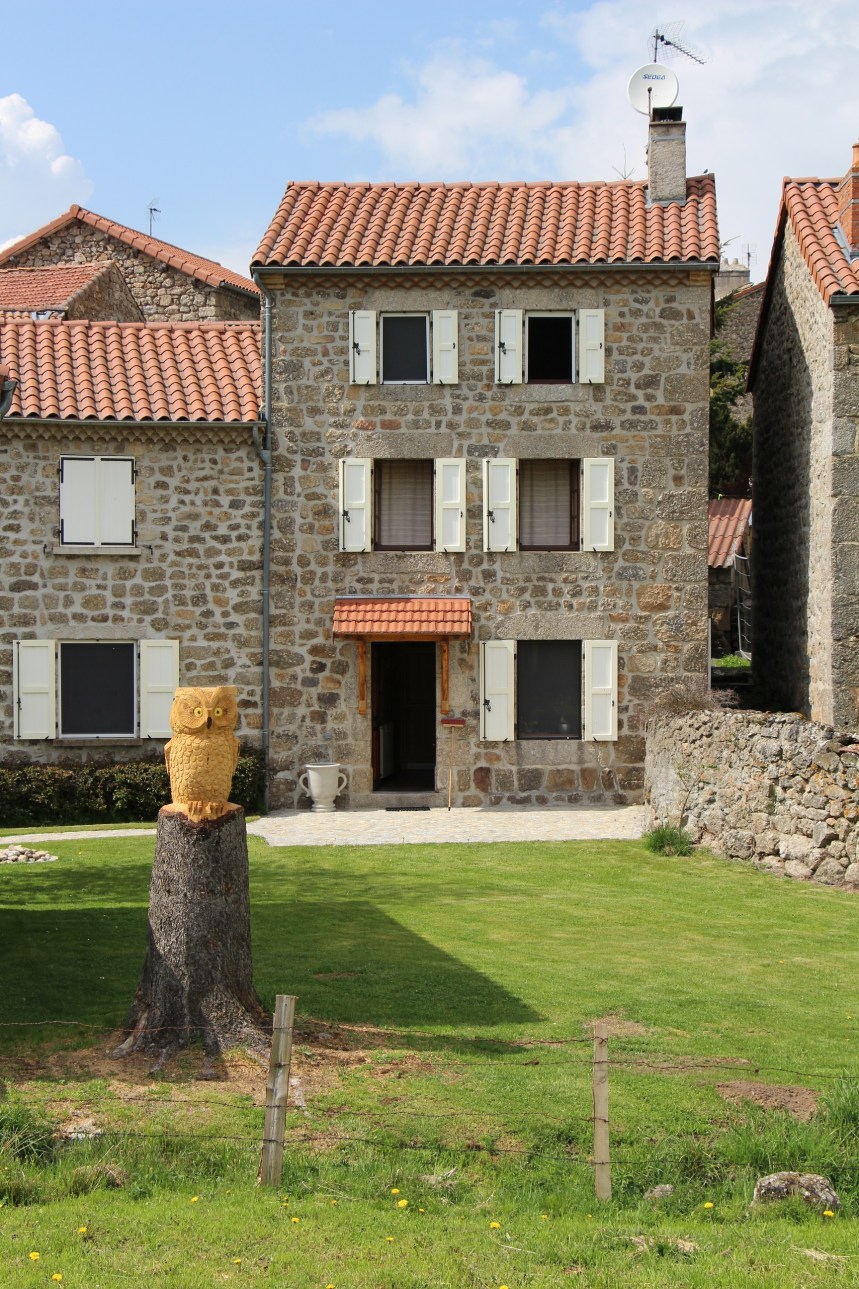
I stopped again at Vernet, where an enterprising farmer had established a makeshift café. And at Rognac, I could not leave out the carved owl.
And then it was just a few kilometers to Saugues, where I am enjoying a Chambres d’Hote arrangement. I had dinner in town next to the church. And so I am ready to face tomorrow.

Today was not so long in terms of distance (20km), but the height factor made it difficult. Tomorrow promises to be much flatter, but longer. Let’s see how we go.
And the step count for today was 31306.
