
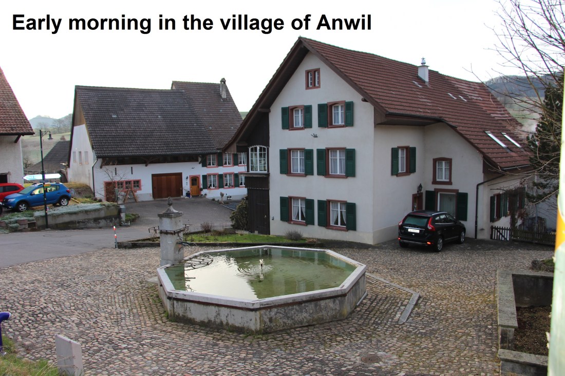
As with every other day, stage 4 of the walk begins where stage 3 ended. So an early morning found me in the village of Anwil ready to start. Anwil is a quiet village, with very little stirring when the bus dropped me off shortly before 8 AM.
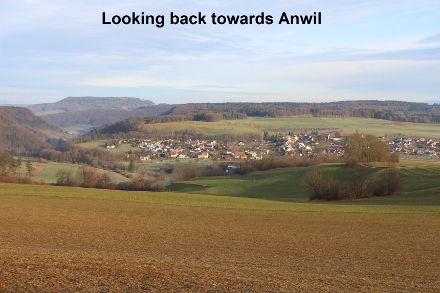
Taking the trail to the south of the village, I found myself looking back and comparing my view of Anwil with when I first saw it on stage 3 of the walk. Then it was under grey skies just after rain, but this morning it was bathed in sunshine. My route was waymarked, and soon brought me into the forest.
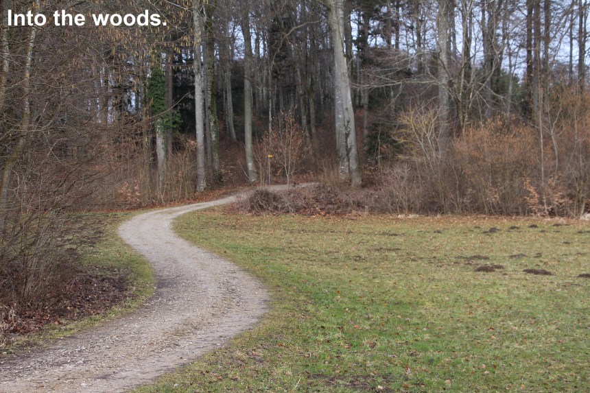
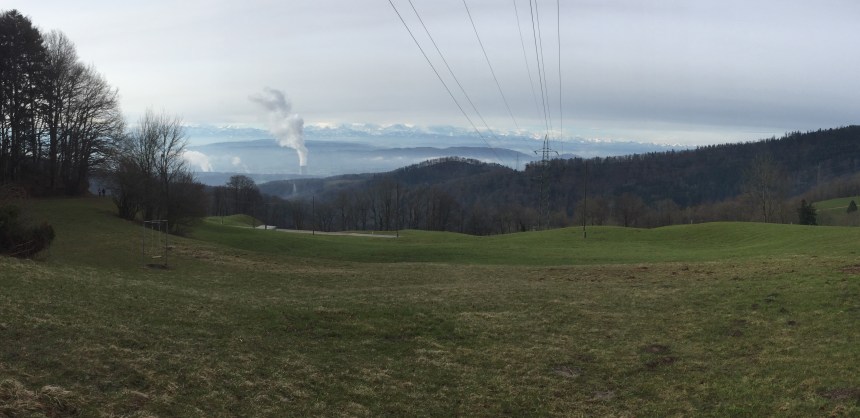
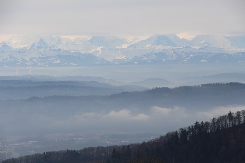
The trail winds backwards and forwards, before emerging into fields again near Oberer Sennhof. From there it goes on through the fields until a side track brought me up to the edge of the forest on the slopes of Geissflue. And here I was rewarded with a magnificent vista to the south, with even the snow covered Alps visible in the distance. Even the power lines overhead and the steaming chimneys could not completely spoil the view.
 .
.
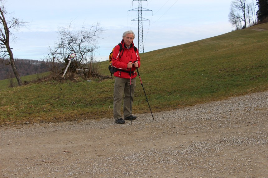
I paused long enough for a selfie before going on. From here my route followed the Swiss National Trail number 5. Switzerland has seven national trails for hikers, and number 5 has the name Jura Hohenweg, or Jura High Level Route. This trail would take me most of my journey for the rest of the day. Going onto this trail from the ones I had used up to now in this project is like going from a county road onto a 4-lane highway. The trail is generally easier and better signposted than most of what I had used up to now.
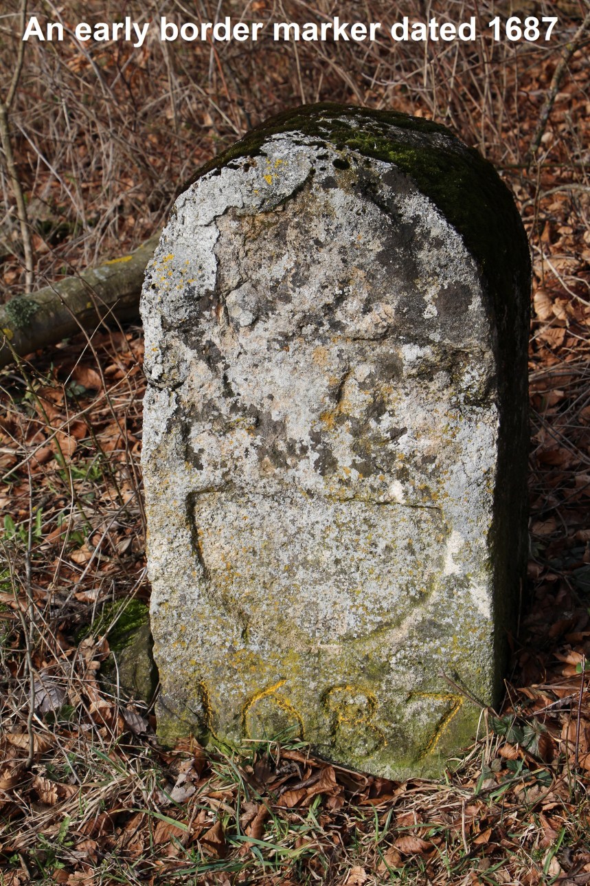
From Geissflue, my route went downwards at first to the valley at Romatt, and then upwards again into the forest at Leutschenberg. The route winds in and out through forestry before emerging into fields at Burgmeid. And it was in the forest that I came across some of the oldest border markers yet. I found two dated 1706, one of them shown here, and looking its 312 years.
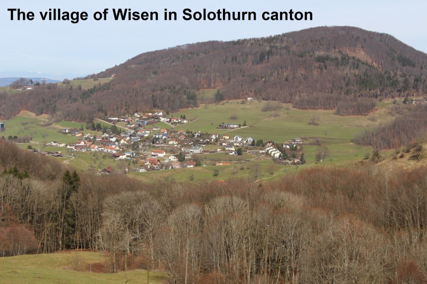
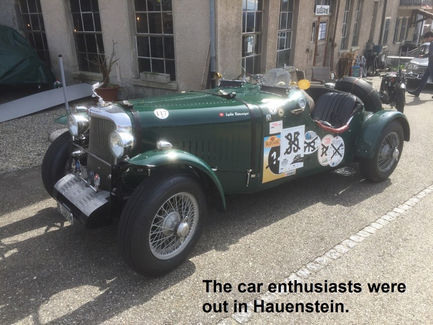
I had to make a choice on this walk about the village of Wisen. This village in Solothurn canton is at the centre of an arc of Solothurn territory that sticks out into Basel Landschaft. But I could find no practical way to walk the circumference of that arc, so I made the decision to stay with the trail I was in, even though it took me some three kilometers away from the true border. My route took me through farmland and along the ridge above Wisen before twisting around again and back into the woods to descend to Hauenstein. In Hauenstein, it was mid-day, and several car enthusiasts had stopped there for lunch. Beauty comes in many forms, including cars like were in Hauenstein that day.

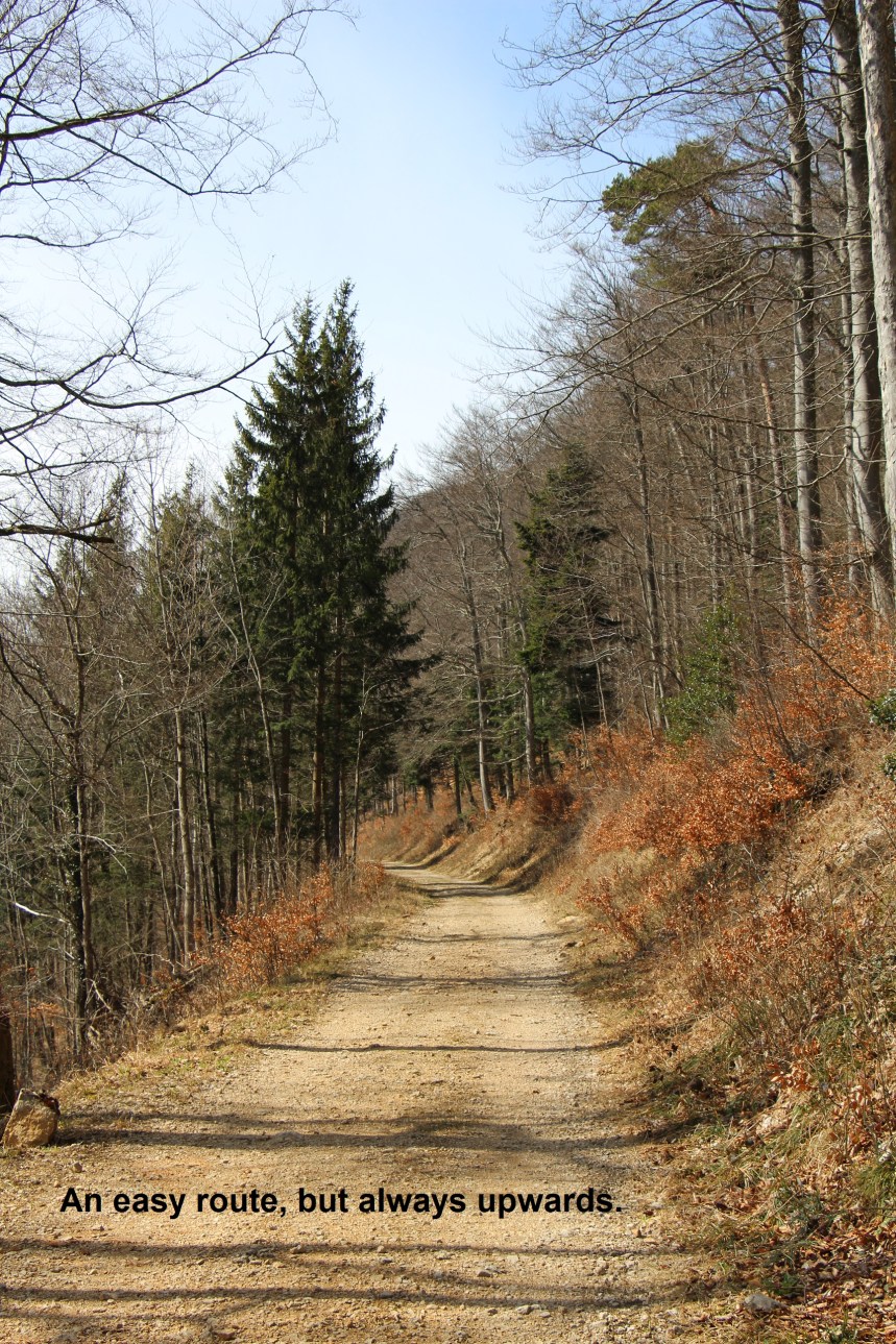
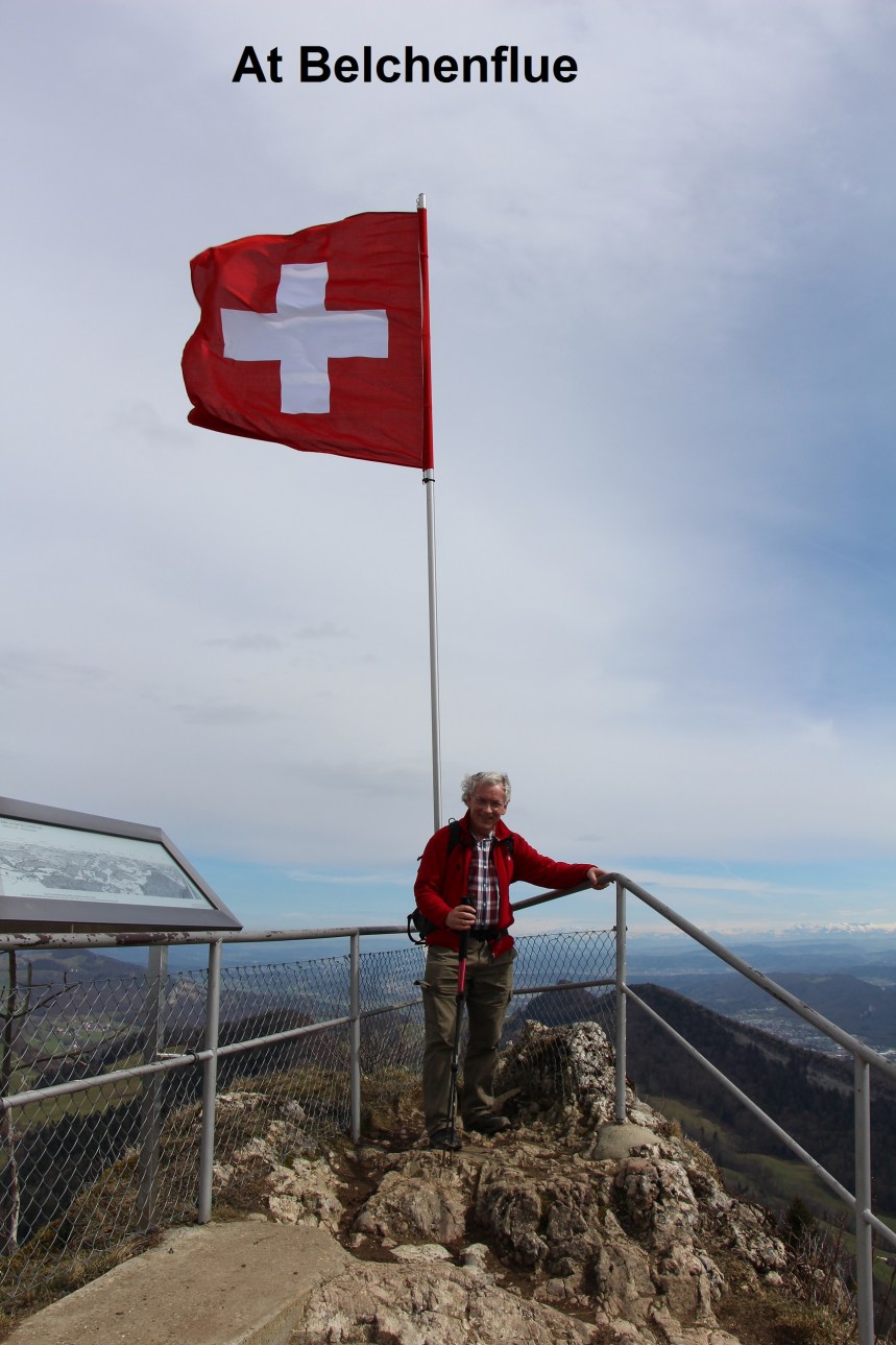
My route had taken me so far from Anwil at 588 metres altitude to over 900 metres on the Leutschenberg, and now down again to 673 metres at Hauenstein. From Hauenstein, it was upwards again as I headed towards Belchenflue. This stretch of the route is not steep, but it is long. Several times I wondered how far I was from either Hauenstein or Belchenflue, but eventually, rounding a corner, the peak came into view, easily identified by the Swiss flag on top.
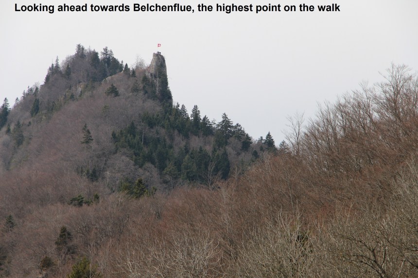
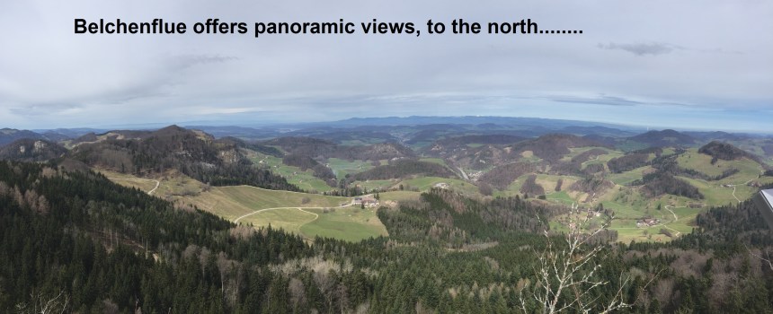
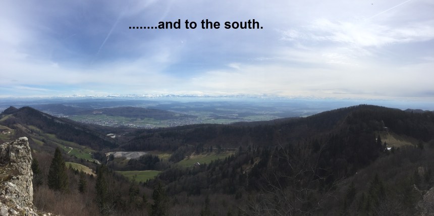
Much of the final stage of the route to Belchenflue is actually a military road. It was constructed by Swiss troops during World War One, and many of the units involved left their insignia carved into the cliffs that line the route. It was probably a horse track back then, and it has been maintained to provide an excellent trail for walkers. And so I reached Belchenflue at 1098 metres altitude. The peak gives absolutely magnificent views all around, which is probably why it was seen as important in World War One.
From Belchenflue, the route descends rapidly, turning left at Gwiden and staying close to the cantonal border until it meets the Cholenbach stream. But then, at a point where the stream goes over a cascade, the stream then turns east, the border goes south, and the trail goes to the south west.
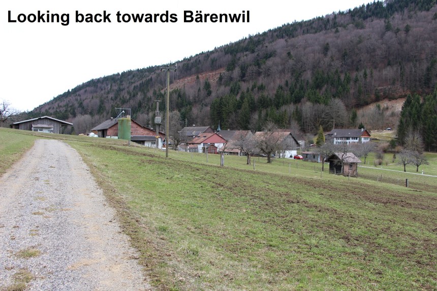
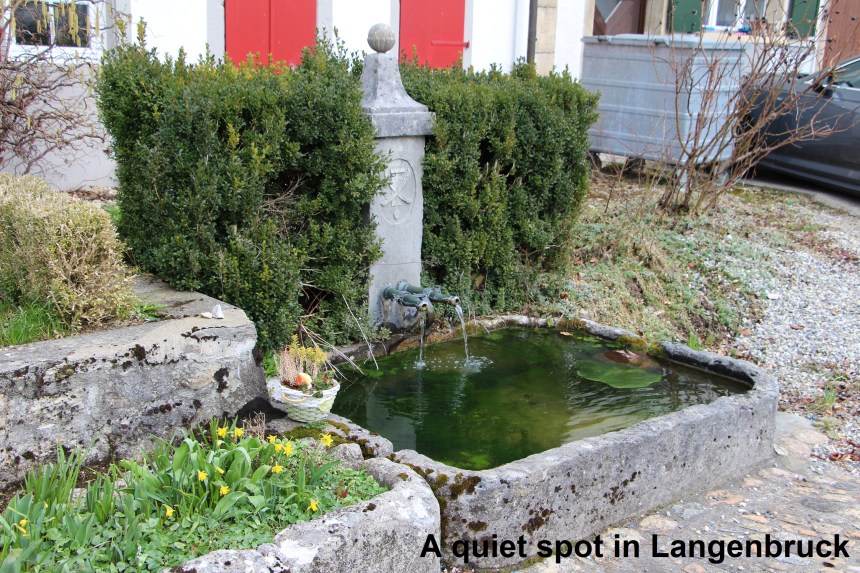
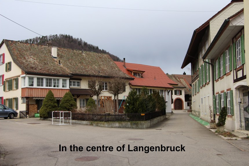
A short distance further, the trail comes to the tiny village of Bärenwil. And that is where I left the National Trail number 5. Leaving the village by a lesser trail brought me to Langenbruck and my bus for home. Coming into Langenbruck from the south is an interesting accumulation of what I think were once garden ornaments. They have been piled up, whether deliberately or accidentally, or simply discarded, it is impossible to say. The village itself is a quiet one and I had a short walk around it while I waited for the bus.

So now four stage of the walk are done. I will take a short break now, but the next stages will be here soon.
