
The Aargauer Weg is intended to take the hiker through a selection of the attractions of Aargau canton. It is a route of diverse sights, from ancient woodlands and farming pastures to historic Hapsburg castles. Altogether, the route is 103km in length, split into 5 sections. For this walk, I chose the first section. Well, I guess it is always best to start at the beginning.
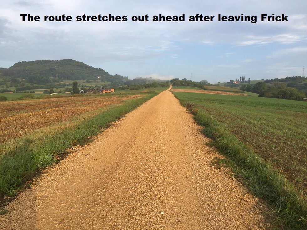
The route starts in Frick, and it was close to 7 AM when I arrived in Frick on the train from Basel. I wasted no time, but started out on the route immediately. The route follows the railway briefly before turning to go through the settlement of Gipf. Then it ascends through open country to reach the heights at Forschberg. Looking back on this stretch, Frick was still blanketed with the clouds of early morning mist, but the day looked like that would soon burn off. But as the route swung around towards the forest, I was into the mist itself, and I began to wonder. But I need not have worried; by the time I reached the forest,
Reaching the forest, there is a choice to be made. The official route follows a loop through to the ruins of Alt Tierstein, but there is a short cut. I chose to take the longer route and soon reached the ruins of Alt Tierstein castle. The ruins are extensive. They were excavated in the 1930s, and evidence of habitation in the castle back to the 11th century was found. However, the archaeologists also found evidence of settlement at the site going back to the bronze age. But for me, the main interest was the short climb to the top of the ruin, where there are fantastic views over the Frick valley.
After Alt Tierstein, the route climbs gradually to the Tiersteinberg. For most of this section, the ground slops away quickly on the right hand side, and there should be great views all along, but mostly they are obscured by the trees. There are two viewing points where you can see right out to Mumpf, Stein and the Black Forest beyond. The Aargauer Weg continues through the forest to Horn, before descending rapidly to the village of Wittnau. There are some steep sections where the walker needs to be careful, and I was glad of the walking poles for added security and stability on those sections.
By the time I reached Wittnau, the blue skies of earlier in the morning had changed to grey, so I did not stop but continued on my way. The route out of Wittnau showed an interesting local project. Children from the local school had decorated the path with the results of their school art projects, adding interest and colour to the route. It took my mind off the difficulty of ascent to Alteberg. The route leaves the forest and goes through open farmland. This part of the route is almost flat, descending a few metres and then rising again, so that it reenters the forest almost level with where I emerged at Alteberg. There are alternating steel sections and level stretches until shortly after Burgfluh, where it levels out at over 800 metres.
I would like to say that the route is level after that, but in fact there was a succession of short ascents and descents until I reached Salhoehe, and this was where I had a real disappointment. There is a chalet there which offers refreshments and I would have been glad to avail of their hospitality. However, they are closed on Mondays. This particular Monday was in between the weekend and a national holiday on the Tuesday, so it would be expected that many people would take the day off, and take to the countryside. And I was not the only person who was disappointed to see the “closed” notice on the door. I have to question the customer service approach of an establishment that closes on such a day.
So I continued on across Eggholde. This section is a ridge walk. The ground falls away rapidly to the north, with a more gradual slope to the south, and the resulting ridge crest is just wide enough for the path in many places. At 800 metres, it would be out in the open back home in Ireland, but here in Switzerland the trees obscure the potential views until you come to the very end of the ridge at Wasserflue. The ridge ends suddenly, and the viewpoint offers unrestricted views to the north, east and south. Even the Alps were visible. This was a good place to stop and take refreshments.
After Wasserflue, the route descends through a mixture of forest and farmland until it reaches the road linking Kuttingen and Erlinsbach. After that it was back into the forest, and a succession of small ascents and descents to emerge eventually on the northwestern edge or Aarau. A short walk through the town brought me to the train station, where I was able to get a bus back to Frick. It was just after 3:30 in the afternoon, so altogether the journey took 8.5 hours.
This is a difficult walk in that it is long: 31km (just under 20 miles). It also involves a total ascent and descent of 1350 metres (about 4400 feet). It is the longest and most difficult section of the Aargauer Weg. The other sections are shorter and with less ascent and descent. So hopefully I will have time to take in the more cultural sights of the route. And when I walk those sections, I will of course be back here to talk about it.
And finally, the step count for this walk: 49,000 steps.
